

Mapping the past
The new edition of Tom Harper’s ‘Atlas: A World of Maps’ is an instructive as well as attractive volume
Presented as a printed showcase of the British Library’s superb collection, this is at once both a great pleasure to look at and a volume worthy of serious consideration.
Originally published in 2018, this paperback edition includes the thoughtful introductory discussion of maps in the original and addresses head-on issues of accuracy as well as the basis on which the choice of maps for depiction has been made. Thus, the atlas takes on many of the characteristics of the maps discussed, but obviously does so in terms of the values of the present.
In particular, Harper is concerned to address questions both of focusing on British perspectives and, more generally, of Eurocentricity. In part, this is a matter of self-consciousness, as in the opening map created by taking the number of times territories are featured in the atlas and converting it into a world map in which more frequently covered territories are visualised as bigger in size. What that reveals is a massive over-representation of Western Europe, and a serious underrepresentation of America and China, and these points could be further enhanced if a population dimension was part of the mapping. There is another map of the same type at the end with the origins of the mapmakers, which is very much a map dominated by Western Europe. This reflects the nature of the collection.
Join Britain’s most civilised publication.

Challenge the consensus. Access rigorous analysis.
It is best to turn however from such present-day points to consider the maps themselves. Handsomely reproduced, each appears with a valuable text, and this greatly helps to make the atlas a scholarly tool. The organisation is geographical – Universe; World; the Continents, in alphabetical order; Seas and Oceans, Celestial; and Fantasy Worlds. Within each section the maps are not in chronological order which provides an arresting, and indeed valuable series of juxtapositions, although some might prefer a chronological order in order to establish changes in mapmaking processes and in the information available. The system adopted, however, avoids any teleological progressivism.
The range of types of maps offered is fascinating. For Fantasy maps we have not Tolkien et al but an anti-Catholic map of the Jaws of Hell from 1567, Cyril Phillips’ 1953 map “Breakfast Island,” which attacks the impact of the state on private incomes, and Grayson Perry’s 2013 “Island of Bad Art” with its critique of theory, public art and so much else.
For Africa, we start with John Spilsbury’s 1767 jigsaw map or “dissected puzzle,” a form of learning through play, before going on to John Moore’s 1664 birds-eye perspective of Tangier, briefly part of the English empire.
Maps provide ways to understand the past through its perceptions of reality and significance
The various forms of map emerge with the techniques covered including IBM computer-drawn maps of Britain. Based on a program called SYMAP, this used algorithms to turn statistical data, which had to be laboriously typed into the program, into a thematic map which could be printed out on paper. Those reproduced are land-use statistics. Very differently, the next map is a large 1835 map of England and Wales that was hand-coloured to help the Royal Commission established in 1837 to investigate poverty within the hand-loom weaving industry. The map is hand-coloured to show the locations, and the density within them, of hand-loom weavers, with different colours employed to differentiate between cotton, linen, silk and wool.
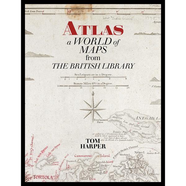
A more general bias in the atlas is towards the colourful and attractive maps, which has always tended to distort how we see maps, whether early or later. To an extent, this is balanced very well by the choice of cover image for the paperback edition, which is a somewhat scruffy Jeffery’s map of the Virgin Islands that has been annotated and updated for a new edition.
The importance of maps emerges very clearly from this volume. They provide ways to understand the past through its perceptions of reality and significance. There is also the importance of differing methods of acquiring, analysing and presenting information. Maps therefore operate at a number of levels. Throughout, an instructive as well as attractive volume.
Jeremy Black’s books include Maps and History and Maps and Politics.


